Metro Hinge is now taking shape. Starting from Gandhi Nagar Depot, taking a turn from Super Corridor, MR-10, Vijay Nagar and Radisson, going through Rig Road, Bengali Senadia, Palasia, Rajwine, Barj Ganpati, this ring will be completed at the airport.
Government issued notification for TOD policy, mobility plan, blue and green infrastructure.
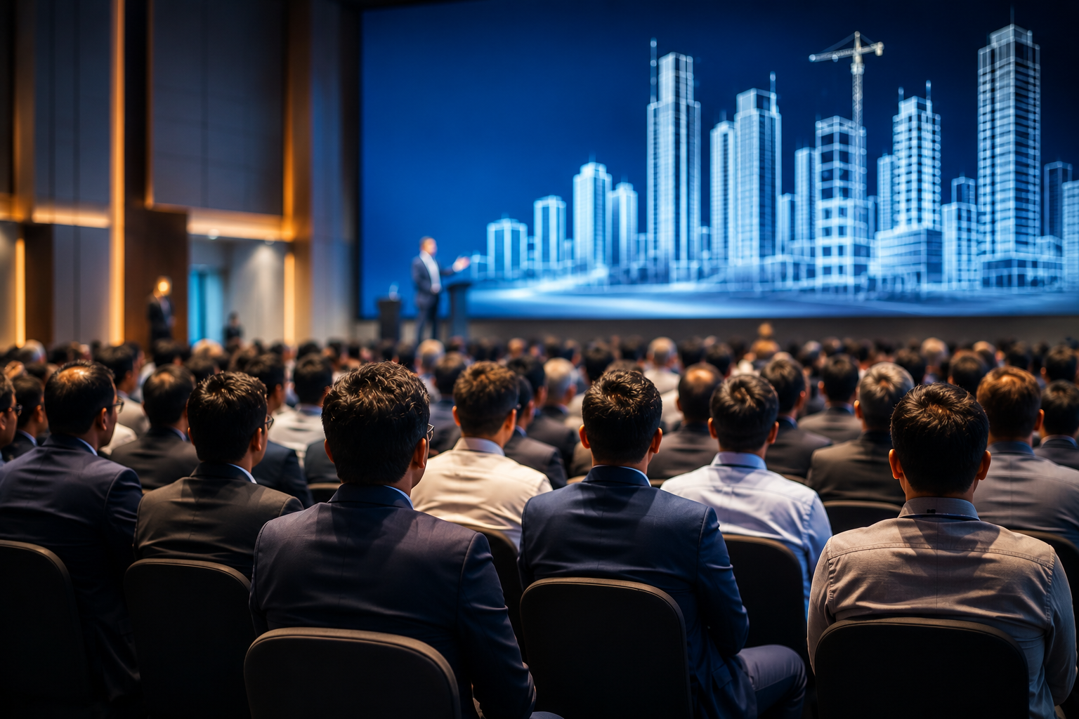
The government has taken a big step for the metropolitan city. With the release of notification for Transit Oriented Development (TOD) policy, mobility plan, blue and green infrastructure, the way for vertical development in 500-500 meters on both sides of BRTS along with Metro Ring has become easy. Due to mixed land use, along with residential, commercial high-rises and new markets will also be able to take shape. Metro- Use of fast public transport like BRTS
There will be less vehicles on the roads. Transit Oriented Development involves developing areas with commercial and residential density around mass transit corridors and providing public transportation for transportation in them. It will have residential, commercial, retail and other mixed land uses. People use public transport more and more Will use. They will get last mile connectivity.
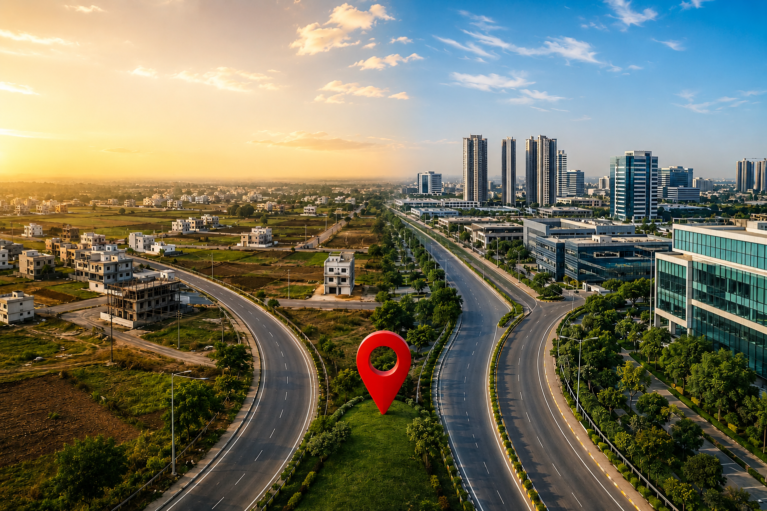
The picture will change like this: 8 growth centers will be developed from central city to bypass.
The picture will be changed from the central city to the bypass, MR-10 flyover, MG Road, airport area and super corridor. A culture of vertical development will develop in the city. Growth centers will be built around Rajbada, MG Road, Race Course Road, MR-4, MR-10, Vijay Nagar, BRTS, Super Corridor.
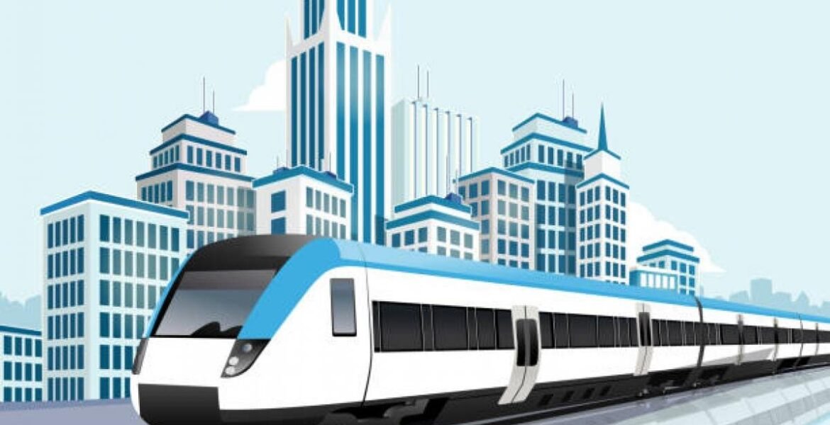
There will be 3 transit oriented corridors
• Airport to Railway Station
• ISBT Kumedi and MR-10 flyover from railway station.
• Super Corridor (from Airport to Super Corridor MR-10 flyover)
3 changes for metropolitan city also
1. City Mobility Plan
• Integration of other public transport vehicles with the main transport infrastructure for last mile connectivity.
• Charging stations to increase electric mobility.
• Creating parking spaces, arranging footpaths, facilitating the movement of pedestrians.
• Making adequate arrangements for parking in shopping and market areas with private participation.
2. Blue and Green Infrastructure
• To conserve water catchment areas, ponds, canals, water streams under Blue Infra.
• Marking recharging points and buffer zones to maintain ground water level. Preventing sewerage and solid waste in water areas.
• Saving green belts and developing new ones for green infrastructure.
• Preparing city forest. Making disaster management system. To manage storm water drainage network and surface rain water.
3. Economic Planning
• Increasing wedding space, planning a new location for logistics hub as well as inter city transport.
• Shifting of old market areas, food streets and others.
• This will develop new markets in the city. There will be less crowd in old markets. There will be decentralization of business.
will be encouraged
• Multi-story and mixed development will be encouraged in these areas as per the rules of the master plan. Land owners with mixed land use in identified development corridors around Metro corridors, BRT will get the benefit of additional FAR. For this, changes will be made in the master plan and land development rules. Objections and suggestions have been invited on the notification within 30 days.
Source- Dainik Bhaskar